Your compass slips off a rock ledge and disappears into a creek. The phone is dead, the map is a wet pulp, and the junction ahead has no sign. That is the moment natural navigation earns its place in your kit — not as a replacement for proper tools, but as a way to keep a rough sense of direction, hold a line, and avoid the panic that turns a short detour into a long night.
The sun rises in the east and sets in the west, and that one fact carries most of the work. The word to underline is roughly. In midsummer at high latitude, sunrise can be well north of east. Near the equator the spread is narrower. Treat east and west as a first approximation and let shadows sharpen it.
At solar noon — when the sun is highest, not necessarily when your watch says noon — the sun sits due south if you are north of the Tropic of Cancer, and due north if you are south of the Tropic of Capricorn. Between the tropics it swings to either side depending on the season. Shadows point directly away from the sun, so a midday shadow falls north in the northern hemisphere and south in the southern.
What makes this useful is that it needs no clock, no phone, and no memory of where the sun came up. It also works when the sun is high and hazy, as long as you get a readable shadow.
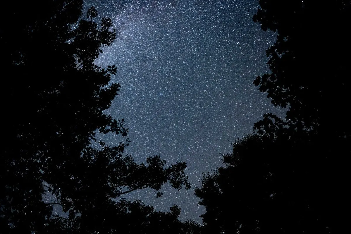
North of the equator, everything hinges on Polaris. Find the Big Dipper, follow the two stars at the outer edge of the bowl, and extend that line about five times the distance between them. You land on Polaris, sitting almost directly above true north. It is not a bright star, which is why people miss it. Cassiopeia's broad W sits on the opposite side of Polaris and gives you a second confirmation.
South of the equator, use the Southern Cross. Extend the long axis of the cross about four and a half times its own length toward the horizon, and that point marks south. The two bright Pointers, Alpha and Beta Centauri, sit nearby; a line drawn between them crosses close to the same spot.
The moon helps too. The lit side always faces the sun, so the bright rim of a crescent tells you roughly where the sun is sitting below the horizon — a fast east-west sanity check on a dark night.
Streams will not point you toward the pole. What they reveal is elevation and the shape of the ground, which is often more useful when you are trying to work out where you are. Water runs downhill. Gullies merge. A trickle becomes a creek, the creek becomes a river, and the river usually ends up somewhere with a bridge, a road or a house on it.
That logic cuts both ways. Following a drainage downstream sounds reassuring and can be miserable in practice: creek beds are where the deadfall, the waist-deep brush and the small waterfalls live. In steep country, a forested ridge is often faster and safer to travel than the gorge below it. Use the water to understand the terrain, not automatically to choose your route.
Smaller signs matter too. Green seeps on an otherwise dry slope mean groundwater, and they tend to cluster on shaded aspects where snow and moisture linger. Long after the last rain, a line of vivid green running down a hillside is telling you something about which way that slope faces.
Start by dropping the moss myth. Moss grows where it is damp and shaded, and in humid forests it wraps trunks on every side. It is a weak tiebreaker at best, never a bearing.
What vegetation does reveal is aspect — which way a slope faces. In the northern hemisphere, south-facing slopes are drier, warmer, and melt out earlier. They tend to carry more grass and low shrub, thinner soil, and less moss. North-facing slopes hold snow longer, stay damper, and often grow denser conifers with thick moss underfoot. In the southern hemisphere the roles reverse.
Wind shapes trees as well. Prevailing winds flag and bend trunks, shear the windward side of conifers on ridgelines, and push cloud across the sky in a consistent direction. If you know the dominant wind where you are — worth checking before you leave — the lean of the trees becomes a rough bearing.
Snow is the clearest signal of all in winter. Cornices build on the downwind side of ridge crests, so the overhanging lip tells you both the usual wind direction and which side is sheltered. In spring, shaded, pole-facing slopes stay white while the sunny side is already bare ground.
One cue is a guess. Three agreeing cues are a bearing. Check them against each other rather than committing to the first thing you notice.
Once you have settled on a direction, do not try to walk a straight line through trees. Pick a landmark — a distinctive peak, a notch in a ridge, a lone snag — walk
Photo: Compose_the_Seen / Pixabay